
Amman Citadel
31.9547° N · 35.9343° E · Archaeological Site
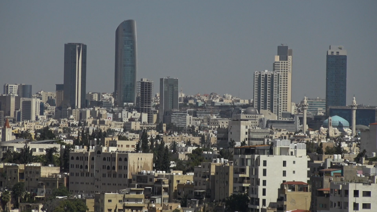
Photo: David Bjorgen · CC BY 2.5 · Wikimedia Commons
Amman Citadel is an archaeological site in Amman. Settlement on the hill dates back to the Bronze Age. The free Lokali audio guide runs 7 minutes.
✓ Published October 2026 · how we write these guides
Visitor facts
| Lokali audio guide | 7 min · free |
|---|---|
| Type | Archaeological Site |
| Location | Amman, Jordan |
| Coordinates | 31.9547, 35.9343 |
| Languages | 50+, in the Lokali app |
The story
Listen first. From this hilltop, the city rises up to meet you as sound. Car horns drift up from the valley. A vendor calls out somewhere below. If you arrive at the right hour, the call to prayer begins from one mosque, then another, then dozens, until the voices overlap and roll across the hills. Under your feet, the ground is pale limestone, warm in the sun and dusty at the edges. You are standing on Jebel al-Qal'a, the Citadel Hill, one of the oldest continuously inhabited places in Amman.
Look around before you look down. The hill is shaped like an uneven letter L, with steep slopes falling away on most sides. That shape is the reason people chose it. A high, defensible ridge with water nearby is a gift in this landscape. Archaeologists have found traces of settlement here going back to the Bronze Age, thousands of years before the Romans. The columns and walls you see today are only the most recent layers. Beneath them, the hill holds a long sequence of towns built one on top of another.
In the Iron Age, this was the heart of the Ammonites, a people whose kingdom gave the modern city its name. Their capital was called Rabbath Ammon. It appears in the Hebrew Bible, where it is besieged by the armies of King David. In that story, a soldier named Uriah is sent to the front line here and dies in the fighting. Whether every detail is historical is debated. But the city itself was very real, and it stood on this ground.
Then came the Greeks. In the third century BCE, the region fell under the Ptolemies, the Greek dynasty that ruled Egypt after Alexander the Great. The city was renamed Philadelphia, after the ruler Ptolemy the Second, who carried the title Philadelphus. That name lasted for centuries. So here is a small surprise for many visitors... long before the American city, there was a Philadelphia in Jordan, and you are standing in it.
Now walk toward the tall columns. These belong to the Temple of Hercules, the most photographed ruin on the hill. It dates to the Roman period, in the second century. An inscription links its construction to the reign of the emperor Marcus Aurelius. Only a few columns stand upright today, partly re-erected by modern archaeologists. Their height gives you a sense of scale. Imagine a full temple front here, with a roof, a staircase, and bright painted details now long gone.
Near the temple, look for the stone fragments of a giant hand and an elbow. This is the detail many people walk past. These pieces are believed to come from a colossal statue, most likely of Hercules himself. Only three fingers and part of the arm survive. Scholars have estimated that the full figure stood many metres tall, among the largest marble statues of the Roman world. Put your own hand near the fingers for a moment. The difference in size tells the story better than any number.
Stand at the edge of the terrace beside the temple and look down. Below you, cut into the opposite hillside, is the Roman Theatre, with its steep rows of stone seats. From here you can understand how the Roman city worked. The sacred buildings sat high on the citadel. The public life of theatre, markets and streets filled the valley below. Today, that valley is downtown Amman, still full of traffic, shops and people, following the same lines.
As you walk on, look for a small ruined church. This is a Byzantine church, from the period when the region was part of the Christian Eastern Roman Empire, roughly the sixth or seventh century. Its plan is simple, with a rectangular hall and the bases of columns that once divided the space. It is easy to miss after the drama of the temple. But it marks a quiet turning point, when the hill's main temples gave way to churches, and a new faith shaped the town.
The next great change came in the seventh century, with the arrival of Islam. In the first half of the eighth century, the Umayyad dynasty, the first great Islamic caliphate, based in Damascus, built a palace complex on the northern part of the hill. Head toward the domed building ahead. This was the monumental entrance hall of the palace, where visitors waited before being received. Its plan is a cross shape, with carved niches and decorative stonework on the inner walls.
Look up when you step inside. The dome above you is a modern reconstruction, built by a Spanish archaeological team in the late twentieth century. Some people debate whether the original hall had a dome at all. Either way, the space is cool and shaded, and sound behaves differently in here. Speak softly and listen to how your voice returns. Then look closely at the walls, where the original carved stone sits beside newer restoration work.
Beyond the entrance hall, the palace opened onto a colonnaded street, with courtyards, living quarters and a mosque nearby. Walk to the large round cistern a short distance away. It is a deep, circular basin lined with stone, built to collect and store rainwater. On a dry hill like this one, water decided everything. A strong earthquake struck the region in the year 749 and badly damaged the palace. Not long afterward, the Umayyads lost power, and the complex was never fully rebuilt.
On the hill you will also find a small archaeological museum. It holds objects found here and at other sites across Jordan, including pottery, stone carvings and everyday tools. Some of the country's most famous finds have since moved to the newer Jordan Museum in the city below. Still, a short visit here helps you connect the ruins outside with the people who used them. Look for the small domestic objects especially. They make these long centuries feel personal.
Before you leave, find a quiet spot along the edge of the hill. Around you, white and sand-coloured houses cover the slopes in every direction, stacked up the hills like steps. Somewhere in the distance, a very large Jordanian flag may be moving slowly in the wind. The sounds of the city keep rising... engines, voices, a dog, a radio. Look once more at the temple columns against the sky. People have stood on this ridge for thousands of years, looking out at the same hills. Now, for a moment, so are you.
Key facts
What to look for
Practical tips
Common questions
Is there a free audio guide to Amman Citadel?
Yes — the Lokali app narrates Amman Citadel free of charge in 50+ languages. The guide runs about 7 minutes, covers the history, what to look for on site and practical tips, and works offline once downloaded.
Where is Amman Citadel?
Amman Citadel is in Amman, Jordan, at 31.9547, 35.9343. Tap the map link on this page for directions from where you are.
What is Amman Citadel known for?
Settlement on the hill dates back to the Bronze Age. Ammonite capital Rabbath Ammon once stood on this ridge.
What should you look for at Amman Citadel?
Three giant marble fingers from a colossal Roman statue. Roman Theatre seats carved into the hillside opposite. Carved niches inside the Umayyad palace entrance hall.
What should you know before visiting Amman Citadel?
Arrive early morning for softer light and fewer crowds. Wear sturdy shoes for uneven stone paths and loose gravel.
When is the best time to visit Amman Citadel?
Arrive early morning for softer light and fewer crowds.
On the map
Opens directions to Amman Citadel from your location.
More to see in Amman



Hear Amman Citadel in your language
The full story, narrated, in 50+ languages. Download it before you go and it plays offline, at your own pace, with no ticket and no tour group.