
Hochelaga
45.5036° N · 73.5753° W · Archaeological Site
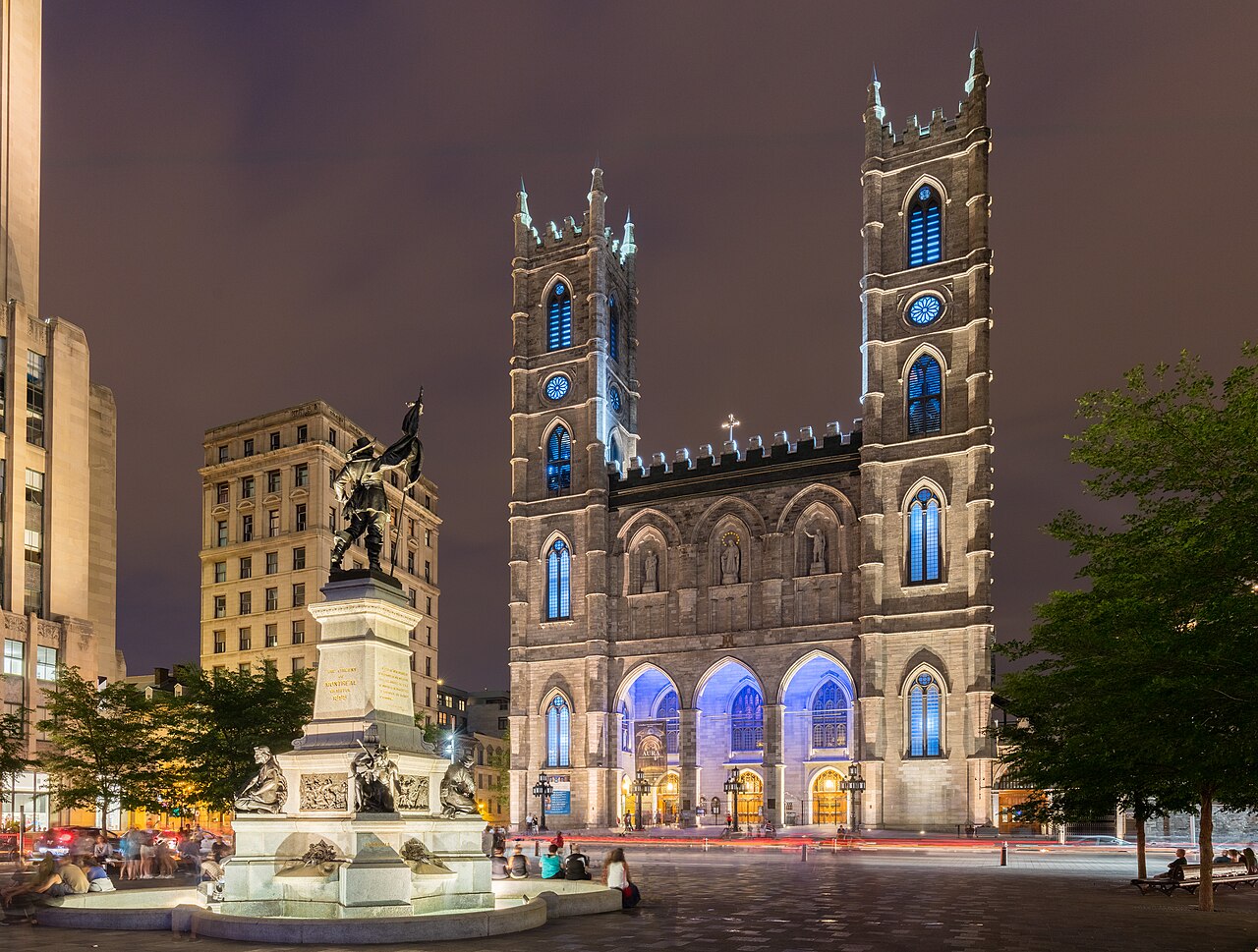
Photo: Jeangagnon · CC BY-SA 3.0 · Wikimedia Commons
Hochelaga is an archaeological site. It is in Montreal, Canada. Jacques Cartier visited Hochelaga in October 1535. The free Lokali audio guide runs 7 minutes.
✓ Published October 2026 · how we write these guides
Visitor facts
| Lokali audio guide | 7 min · free |
|---|---|
| Type | Archaeological Site |
| Location | Montreal, Canada |
| Coordinates | 45.5036, -73.5753 |
| Languages | 50+, in the Lokali app |
The story
Stand still for a moment and listen. Traffic hums along Sherbrooke Street. Students cross the lawns of McGill University with coffee in hand. The slope of Mount Royal rises behind the stone buildings, green or gold depending on the season. Nothing here looks ancient. And yet, somewhere close to where you stand, there was once a town of bark longhouses, cornfields, and smoke rising from cooking fires. Its name was Hochelaga.
The name Hochelaga belongs to more than one place in Montreal. Today it also names a working-class neighbourhood further east, in a different borough. The Hochelaga of this guide is older. It was a village of the Saint Lawrence Iroquoians. They were an Indigenous people who farmed the valley of the great river long before any European ship arrived. A commemorative marker on the McGill campus, near the main gates, recalls them. It stands on ground that many historians link with the village.
Nearly everything we know about Hochelaga comes from one visit. In early October 1535, the French navigator Jacques Cartier rowed up the Saint Lawrence on his second voyage to North America. His larger ships could not pass the shallows upstream, so he continued in smaller boats. When he reached the island, a large crowd came down to the shore to greet him. According to his account, they danced, and they offered the visitors fish and cornbread.
Cartier's narrative describes a town surrounded by a wooden palisade, a high fence of tree trunks. He wrote that it had only one entrance, and walkways along the top for defenders. Inside stood around fifty longhouses. A longhouse is a long, rounded building of wooden poles covered in bark. Several related families shared each one, with fires down the centre. Around the village, he saw broad fields of corn. Be careful with his numbers, though. Visitors' estimates were often generous.
Here is a detail that many visitors miss. During that visit, Cartier was guided up the nearby mountain. From the top, he looked out over the river and the country around it. He gave the mountain a name, Mont Royal, which means the royal mountain. Over time, that name passed to the city itself. So when you say the word Montreal, you are using a name chosen on a single autumn day in 1535... by a man who came as a guest of Hochelaga.
The village did not leave its own written records. What we have is the view of an outsider, written for readers in France. Cartier was looking for a route to Asia and for riches. He did not stay long, and he could not speak the language well. His account is valuable, but it is one side of the story. The people of Hochelaga would surely have described their home very differently.
Then comes the mystery. When the French explorer Samuel de Champlain travelled up the river in the early seventeenth century, Hochelaga was gone. He found no palisade and no great village. The Saint Lawrence Iroquoians had vanished from the valley by the end of the sixteenth century. Historians and archaeologists still debate the reasons. Conflict with neighbouring nations, disease, and changes in trade are all possible causes. No single answer is settled.
It is important not to confuse two different peoples. The Saint Lawrence Iroquoians are distinct from the Kanien'kehá:ka, also called the Mohawk, who live in this region today. The Mohawk name for the Montreal area is Tiohtià:ke. Many people understand it to describe a meeting place of waters and of peoples. You may see this name on signs and hear it in land acknowledgements across the city. It is a reminder that Indigenous presence here did not end with Hochelaga.
Now for a second surprise. In 1860, workers digging near what is now the downtown campus found pottery, bones, and other traces of an Indigenous settlement. The principal of McGill at the time, the geologist John William Dawson, studied the finds with great interest. Archaeologists call this the Dawson site. For many years, people believed it was Hochelaga itself. Today, specialists are more cautious. The exact location of Cartier's village has never been confirmed.
That uncertainty makes this place unusual. Most historic sites point to a building you can touch. Here, the marker points to an idea, and to a question. Perhaps the village stood on this very slope. Perhaps it lay somewhat further away, under streets, towers, and parking garages. The modern city has covered the old soil. And so the commemoration is less about a precise spot and more about memory.
Think about the landscape as the villagers knew it. The mountain behind you was their backdrop too. Its slopes would have been covered in forest. The river, out of sight now beyond the towers, was the main road for travel and trade. Corn, beans, and squash grew in clearings. Many Iroquoian peoples called these three crops the Three Sisters, because they grow well together. The same seasons you feel here today shaped every month of village life.
There is also a small, lasting legacy in language. Cartier wrote down lists of words from the Iroquoian peoples he met along the river. One of them, recorded at the village of Stadacona near present-day Quebec City, was kanata. It means village or settlement. The French began to use it for the whole region. That word became Canada. So the name of an entire country comes from the language of the same people who built Hochelaga.
As you look around now, notice the contrast. Grey stone buildings, iron gates, and tall glass towers fill the view. Yet the shape of the land has not changed much. The mountain still rises to the north. The ground still slopes gently down toward the river. If you walk downhill toward the old port, you are following the same direction that villagers once took to reach their canoes.
Before you leave, take one more look at the mountain. Imagine a small group climbing it in the cold October air of 1535, with a stranger from across the ocean beside them. They could not know how much that day would change. When you walk on, along Sherbrooke Street or up toward the park, you are walking through layers of a story. And the oldest layer belongs to Hochelaga.
Key facts
What to look for
Practical tips
Common questions
Is there a free audio guide to Hochelaga?
Yes — the Lokali app narrates Hochelaga free of charge in 50+ languages. The guide runs about 7 minutes, covers the history, what to look for on site and practical tips, and works offline once downloaded.
Where is Hochelaga?
Hochelaga is in Montreal, Canada, at 45.5036, -73.5753. Tap the map link on this page for directions from where you are.
What is Hochelaga known for?
Jacques Cartier visited Hochelaga in October 1535. Cartier named the nearby mountain Mont Royal.
What should you look for at Hochelaga?
The commemorative marker on the McGill campus grounds. Mount Royal's slopes rising behind the campus buildings. The ground sloping gently down toward the river.
What should you know before visiting Hochelaga?
Start at McGill's main gates on Sherbrooke Street. Walk up toward Mount Royal to see the view.
When is the best time to visit Hochelaga?
Come in autumn to match Cartier's October visit.
On the map
Opens directions to Hochelaga from your location.
More to see in Montreal



Hear Hochelaga in your language
The full story, narrated, in 50+ languages. Download it before you go and it plays offline, at your own pace, with no ticket and no tour group.