
Thousand Islands National Park
44.3525° N · 75.9550° W · National Park
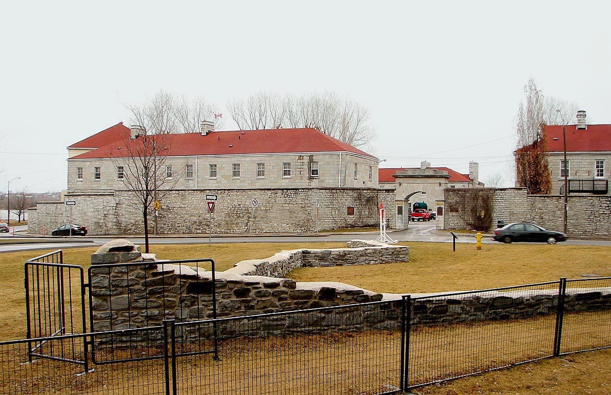
Photo: Shroha · CC BY-SA 3.0 · Wikimedia Commons
Thousand Islands National Park is a protected area in Ontario, Canada. Established in 1904 as Saint Lawrence Islands National Park. The free Lokali audio guide runs 7 minutes.
✓ Published October 2026 · how we write these guides
Visitor facts
| Lokali audio guide | 7 min · free |
|---|---|
| Type | National Park |
| Location | Prince Edward County, Canada |
| Coordinates | 44.3525, -75.9550 |
| Official website | pc.gc.ca |
| Languages | 50+, in the Lokali app |
The story
Listen first. Water slaps against pink granite. A loon calls somewhere out of sight, and pine needles shift underfoot with a dry, soft crunch. The air here carries resin, wet rock and river, all at once. Before any history, this is what the place is: stone, water and trees, arranged in a scatter of islands that seems to go on forever down the river.
A quick note on where you are. Thousand Islands National Park lies on the Saint Lawrence River in eastern Ontario, east of Prince Edward County. The park sits between Kingston and Brockville. If you have driven over from the County's vineyards and sandy beaches, you have crossed into very different ground. The soft limestone farmland gives way to hard, ancient rock. That change in the land is the key to everything you see here.
The rock under your feet belongs to the Frontenac Arch. This is a long granite ridge that links the Canadian Shield to the north with the Adirondack Mountains in New York State. The Shield is the vast plate of old rock that covers much of Canada. The river cut across this ridge, and the high points of the old ridge stayed above the water. Those high points are the islands. In a sense, you are looking at the worn tops of buried hills.
How many islands are there? The name says a thousand, but the real number is higher. Most counts put it at more than eighteen hundred. By one common rule, an island counts if it stays above water all year and carries at least one living tree. Some are large enough for cottages and forest. Others hold a single pine, clinging to a crack in the stone. Here is a surprise for most visitors: the park itself owns only a small share of them.
This is one of the smallest national parks in Canada. It is also one of the oldest. It was created in 1904 as Saint Lawrence Islands National Park. At the time, it was the first national park in Canada east of the Rocky Mountains. For more than a century it kept that original name. In 2013 it became Thousand Islands National Park, taking the name the whole region already used. The park is a patchwork, not a single block. It includes mainland sections and more than twenty islands spread along the river.
Look at the trees around you. The forest here is a meeting point. Northern species reach south along the granite ridge. Southern species reach north along the warmer river valley. The Frontenac Arch works like a bridge for plants and animals between two large regions. Because of this, the area shelters species that are rare elsewhere in Canada. In 2002, UNESCO named the wider region the Frontenac Arch Biosphere Reserve. That status recognizes people and nature living side by side, not wilderness alone.
One resident deserves special mention. The gray ratsnake is the largest snake in Ontario. It can grow longer than a tall adult is tall. It is harmless to people, and it is a skilled climber, sometimes found high in trees. The species is at risk in Canada, and this region is one of its last strongholds. If you meet one on a trail, give it space and let it pass. Many visitors never see one, so count yourself lucky if you do.
The river itself has a long human story. Indigenous peoples travelled and lived on these waters for thousands of years. The Haudenosaunee, also called the Iroquois, and the Anishinaabe peoples both have deep ties to the region. A popular tale says the islands carried a name meaning the Garden of the Great Spirit. Treat that as a much-loved story rather than a documented translation. What is certain is that this river was a road, a fishing ground and a home long before any park existed.
Later, the Saint Lawrence became a border and a busy shipping route. During the War of 1812, the river lay on the front line between British North America and the United States. Today the international border runs among the islands. Some islands sit in Canada, and others sit in the United States, sometimes only a short paddle apart. You may notice large freighters moving through the main channel. They are part of the Saint Lawrence Seaway, which links the Great Lakes to the Atlantic Ocean.
By the late nineteenth century, wealthy families from cities like New York and Toronto discovered the islands. They built summer homes, some of them very grand. Steamboats carried guests between hotels and docks. Locals like to tell the story that Thousand Island salad dressing was born here during that era. Several versions of the tale exist, and no one agrees on which is true. Still, it is a fun reminder that this quiet river once drew some of the richest people on the continent.
Most of the park is best reached by water. Many of the islands have docks, campsites and short trails, but no bridges. Kayaks, canoes and small boats are the usual way across. On the mainland, sections like Mallorytown Landing offer a visitor centre, picnic areas and easy walks. The Jones Creek area has quiet forest trails through granite and wetland. Even from the shore, you can see the pattern of the islands stretching out across the water.
Pause for a moment and notice the details. Look at the rock surfaces. Many are smooth and rounded, and some show long grooves. Glaciers scraped across this ground during the last Ice Age, and they left these marks. Notice how thin the soil is. Trees grow straight out of cracks, their roots gripping bare stone. Pines often lean away from the prevailing wind. In autumn, the maples and oaks turn red and gold against the dark green of the pines.
Now listen again. The water is still moving against the granite, as it has for thousands of years. The same loon may call once more. When you walk back to the shore, or paddle away from your island, look over your shoulder. Watch how the islands fold into each other at a distance until they look like one coastline. Then the gaps open again as you move. That slow shifting of rock, water and light is the quiet heart of this place.
Key facts
What to look for
Practical tips
Common questions
Is there a free audio guide to Thousand Islands National Park?
Yes — the Lokali app narrates Thousand Islands National Park free of charge in 50+ languages. The guide runs about 7 minutes, covers the history, what to look for on site and practical tips, and works offline once downloaded.
Where is Thousand Islands National Park?
Thousand Islands National Park is near Prince Edward County, Canada, at 44.3525, -75.9550. Tap the map link on this page for directions from where you are.
What is Thousand Islands National Park known for?
Established in 1904 as Saint Lawrence Islands National Park. First Canadian national park east of the Rocky Mountains.
What should you look for at Thousand Islands National Park?
Smooth granite scored with grooves left by Ice Age glaciers. Pines rooted straight into cracks in bare pink rock. Gray ratsnakes climbing tree trunks along the trails.
What should you know before visiting Thousand Islands National Park?
Rent a kayak or canoe to reach the island campsites. Start at Mallorytown Landing for maps and park information.
When is the best time to visit Thousand Islands National Park?
Come in autumn for red maples against dark green pines.
On the map
Opens directions to Thousand Islands National Park from your location.
More to see near Thousand Islands National Park
Hear Thousand Islands National Park in your language
The full story, narrated, in 50+ languages. Download it before you go and it plays offline, at your own pace, with no ticket and no tour group.