
Kaymakli Underground City
38.4600° N · 34.7523° E · Archaeological Site
Photo: Nevit Dilmen (talk) · CC BY-SA 3.0 · Wikimedia Commons
Kaymakli Underground City is an archeological site in Turkey. Kaymakli is a separate town just north of Derinkuyu. The free Lokali audio guide runs 7 minutes.
✓ Published October 2026 · how we write these guides
Visitor facts
| Lokali audio guide | 7 min · free |
|---|---|
| Type | Archaeological Site |
| Location | Derinkuyu, Türkiye |
| Coordinates | 38.4600, 34.7523 |
| Languages | 50+, in the Lokali app |
The story
The air changes first. A few steps down from the bright street, the warmth of the day falls away and a cool, steady breath rises from the rock. The walls are soft and pale, the colour of old bread crust. Run a hand along them and a fine dust comes away on your fingers. Somewhere ahead, voices bend and fade around a corner you cannot see yet. You are walking into a hill that people hollowed out by hand.
First, a small point of geography. Kaymakli is not inside Derinkuyu itself. It sits in its own town, a short drive to the north along the same road through central Cappadocia. The two places are neighbours, and they are often visited on the same day. They also share the same idea — a city built downward instead of up. So if you came from Derinkuyu, you are still in the same story, just in a different chapter.
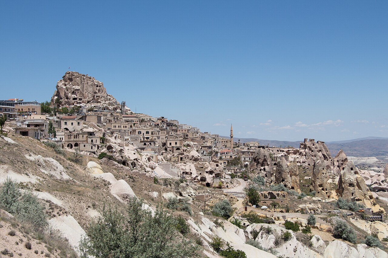
That story begins with the rock beneath your feet. This whole region was shaped by ancient volcanoes. Their ash settled in deep layers and hardened into a stone called tuff. Tuff is soft when you first cut it, so an iron tool can carve it with patience. Then, once the cut face meets the air, it slowly grows harder. For people without heavy machines, this was close to an ideal building material. You could dig a room, and the room would hold.
Nobody knows exactly who dug the first chambers here. Some historians suggest the earliest spaces may be very old, possibly from the first millennium before Christ, when Phrygian peoples lived in this part of Anatolia. That is a theory, not a certainty. What is much clearer is that the complex grew enormously in the Byzantine era — the eastern Roman Empire that ruled here for centuries. Generation after generation, people kept digging deeper and connecting more rooms.
Why go underground at all? For much of the Byzantine period, central Anatolia was a frontier. Raiding armies crossed these plains, especially during the long wars between Byzantium and the early Islamic caliphates. When word came that soldiers were near, families could gather their animals and food and disappear below. Above ground, an attacker might find an empty village. Below, hundreds of people waited quietly in the cool dark until the danger passed.
As you move through the passages, notice how the city is arranged. Archaeologists have identified several levels here, and only the upper ones are open to visitors. The deeper floors remain closed. The tunnels between rooms are often low and narrow. That was a choice, not an accident. A narrow passage lets only one person through at a time, bent over. An intruder in that position is slow, cramped, and easy to stop.
Now look for the great round stones. In several doorways you will see a heavy disc of rock, shaped like a millstone, set into a groove beside the opening. These stones could be rolled across the passage from the inside to seal it. From the outside, there was no easy way to push them back. Here is a detail many visitors miss — some of these discs have a small hole at the centre. One common explanation is that defenders could watch, or even strike, through it.
Life down here was not only about hiding. Families stored grain, oil, and wine. You will pass rooms with shallow basins cut into the floor, which guides identify as presses for grapes. There are niches for lamps, cut into the walls at shoulder height. Look up at the ceilings near those niches and you may see darker patches. Those are traces of smoke from oil lamps, left long ago by people working in the dim light.
The animals came underground too. On the upper levels there are spaces that are usually described as stables, with feeding troughs carved straight out of the rock. Keeping animals near the entrance made sense. They were heavy and slow, and moving them deep into narrow tunnels would have been nearly impossible. So the beasts stayed close to the surface, and the people went deeper. Picture the smell of hay and warm animals mixing with the cold mineral air.
One of the most important features here is almost invisible. It is the ventilation. Vertical shafts run down through the levels, carrying fresh air from the surface into the deepest rooms. Some shafts also seem to have reached water. Without a steady supply of air and water, hundreds of people could not have stayed below for long. Stand near one of these openings and you may feel a faint movement of air against your face. That small breeze kept this city alive.
There is also a small church on one of the levels, a reminder that the people who sheltered here were Christian communities of the Byzantine world. And guides often stop at a large block of stone covered in small, cup-shaped hollows. A popular explanation says it was used in working copper, perhaps for melting small amounts of metal. That interpretation is widely repeated, but it is not fully proven. Treat it as an interesting possibility, not a settled fact.
Perhaps the most surprising thing about Kaymakli is how close it remains to everyday life. The modern town sits directly on top of the old city. Many houses above have their own passages that connect into the tunnels below, and some residents have long used these spaces as cellars and storerooms. The underground city is not a sealed monument from a vanished world. It is the basement of a living town.
The chambers were in use, on and off, for a very long time. Local Greek-speaking Christians lived in this area until the early twentieth century, when the population exchange between Greece and Turkey moved them away. Later, the site was cleared and opened to the public in the 1960s. Locals also tell of a long tunnel linking Kaymakli to Derinkuyu. It is a famous tale, but a full connection has never been confirmed.
As you climb back toward the light, slow down for a moment. Notice how your eyes need time to adjust, and how warm the air feels again on your skin. Look back at the low doorway behind you, at the soft rock worn smooth by countless shoulders and hands. Above you now are ordinary streets, shops, and courtyards. And somewhere beneath your feet, the cool rooms wait in the dark, exactly as quiet as they have always been.
Key facts
What to look for
Practical tips
Common questions
Is there a free audio guide to Kaymakli Underground City?
Yes — the Lokali app narrates Kaymakli Underground City free of charge in 50+ languages. The guide runs about 7 minutes, covers the history, what to look for on site and practical tips, and works offline once downloaded.
Where is Kaymakli Underground City?
Kaymakli Underground City is near Derinkuyu, Türkiye, at 38.4600, 34.7523. Tap the map link on this page for directions from where you are.
What is Kaymakli Underground City known for?
Kaymakli is a separate town just north of Derinkuyu. Carved from tuff, a soft rock made of volcanic ash.
What should you look for at Kaymakli Underground City?
Round rolling stone doors set into grooves beside passages. Small central hole drilled through some rolling stones. Dark smoke stains above carved lamp niches.
What should you know before visiting Kaymakli Underground City?
Wear sturdy shoes with grip for uneven, dusty floors. Bring a light layer; the tunnels stay cool year-round.
When is the best time to visit Kaymakli Underground City?
Arrive early to avoid queues in the narrow tunnels.
On the map
Opens directions to Kaymakli Underground City from your location.
More to see near Kaymakli Underground City


Hear Kaymakli Underground City in your language
The full story, narrated, in 50+ languages. Download it before you go and it plays offline, at your own pace, with no ticket and no tour group.