
Borjomi-Kharagauli National Park
41.8616° N · 43.1315° E · National Park
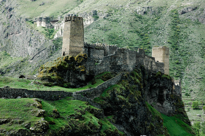
Photo: Polscience at English Wikipedia · Public domain · Wikimedia Commons
Borjomi-Kharagauli National Park is a national park in Georgia spanning parts of six municipalities. Among the largest protected forests in the Caucasus region. The free Lokali audio guide runs 6 minutes.
✓ Published October 2026 · how we write these guides
Visitor facts
| Lokali audio guide | 6 min · free |
|---|---|
| Type | National Park |
| Location | Khashuri, Georgia |
| Coordinates | 41.8616, 43.1315 |
| Official website | borjomi-kharagauli-np.ge |
| Languages | 50+, in the Lokali app |
The story
Listen first. Under the canopy, the air is cool and damp, even on a warm afternoon. The ground is soft with old needles and fallen beech leaves. Somewhere below you, water runs over stone. You can smell resin from the spruce trees and the sweet, earthy smell of moss. This is Borjomi-Kharagauli National Park. It is one of the largest protected forests in the Caucasus, the mountain region that lies between the Black Sea and the Caspian Sea.
The park covers a very large area of mountains and valleys. It reaches across parts of several Georgian municipalities. Khashuri, where you are now, is on its northeastern side. Borjomi lies to the south and Kharagauli lies to the west. These ridges belong to the Lesser Caucasus. That is the lower, southern chain of mountains, and it runs parallel to the higher peaks you can sometimes see far to the north on a clear day.
Here is the first surprise. The protection of this land is older than the park itself. In the 1930s, part of these forests became the Borjomi Strict Nature Reserve. It was one of the earliest protected areas in Georgia. For decades, the reserve was set aside for nature and science, not for visitors. The national park was created around this older core in the 1990s. It opened to visitors at the start of the 2000s.
The timing matters. Georgia had become independent only a few years earlier. The 1990s were hard years of conflict, shortages and cold winters. In those years, many people cut forests for firewood just to survive. The creation of a modern national park at that moment was a statement about the future. International partners helped with the work. Conservation groups, including the World Wildlife Fund, and the German government supported the planning, the trails and the training of rangers.
Now look at the trees around you. These forests change as you climb. Lower down you find broadleaf woods of beech, oak, hornbeam and chestnut. Higher up, dark conifers take over. Two trees dominate there. The oriental spruce is tall and narrow, with short, shiny needles. The Caucasian fir, often called Nordmann fir, is a tree many Europeans know as a Christmas tree. Here, it grows wild, and it grows to an enormous size.
Above the forest line, the land opens into subalpine meadows. In early summer these slopes fill with wildflowers. Shepherds have used high pastures in this region for centuries, moving their animals up the mountains for the warm months. From the meadows, the view runs across ridge after ridge of green. On many days, clouds sit low in the valleys below you. It can feel as if you are standing above a white sea.
The park is home to large animals that are rare in much of Europe. Brown bears live in these forests. So do wolves, lynx, red deer and chamois, a nimble mountain goat-antelope. You are very unlikely to meet a bear on a busy trail. Most animals stay well away from people. But rangers do see tracks, and in some places you may find claw marks on tree trunks. The silence of the deep forest exists partly because these animals have room to hide.
Birds are easier to notice. Listen for woodpeckers knocking on dead wood. Look up for birds of prey circling above the ridges. Dead trees are left standing on purpose in much of the park. To a casual eye they may look untidy. In fact, they are homes for insects, owls, bats and woodpeckers. A forest that is allowed to grow old and decay naturally supports far more life than a tidy, managed woodland.
The park is built for walkers. A network of marked trails crosses the mountains, from short loops to routes that take several days. Along the longer routes there are simple mountain shelters where hikers can stay overnight. Trails are marked with painted stripes on trees and rocks. Rangers register visitors on the longer routes. This is not bureaucracy for its own sake. In mountains this large, it is a real safety measure.
Here is the second surprise, and it is a story, not a record. One of the park's trails is named after Saint Andrew, one of the first apostles of Jesus. According to Georgian church tradition, Andrew travelled through this part of the country to preach Christianity. Locals say he walked these mountains. Historians cannot confirm the journey. But the legend is deeply loved in Georgia, and it gives the trail a quiet pilgrimage feeling.
The region around the park also carries a famous name. The town of Borjomi gave its name to the salty, sparkling mineral water sold across the former Soviet world. Springs rise from deep underground in these valleys. In the nineteenth century, Borjomi became a fashionable resort for the Russian imperial elite. The water and the forest grew famous together. The same geology that makes the water also shapes these steep, folded mountains.
On the Khashuri side, the landscape feels more rural and less visited than around Borjomi. Villages sit at the edges of the forest. You may see cattle on the roads, wood stacked for winter, and small gardens of fruit trees. Many families here have deep ties to these woods. They gather mushrooms, berries and herbs in the right seasons. The park tries to balance protection with these long local traditions, and the balance is not always easy.
Before you move on, stand still for one more moment. Notice how the light comes through the canopy in narrow beams. Notice the layers of green, from the moss at your feet to the tops of the firs. As you walk away, listen for the water again, running somewhere below. This forest was here long before the park was named. With care, it will still be here long after you leave.
Key facts
What to look for
Practical tips
Common questions
Is there a free audio guide to Borjomi-Kharagauli National Park?
Yes — the Lokali app narrates Borjomi-Kharagauli National Park free of charge in 50+ languages. The guide runs about 6 minutes, covers the history, what to look for on site and practical tips, and works offline once downloaded.
Where is Borjomi-Kharagauli National Park?
Borjomi-Kharagauli National Park is near Khashuri, Georgia, at 41.8616, 43.1315. Tap the map link on this page for directions from where you are.
What is Borjomi-Kharagauli National Park known for?
Among the largest protected forests in the Caucasus region. Core reserve was protected in the 1930s.
What should you look for at Borjomi-Kharagauli National Park?
Painted trail stripes on tree trunks and rocks. Standing dead trees left deliberately for wildlife. Tall Caucasian firs with dark, flat needles.
What should you know before visiting Borjomi-Kharagauli National Park?
Register with rangers before starting any multi-day route. Bring layers; mountain weather changes quickly here.
When is the best time to visit Borjomi-Kharagauli National Park?
Start long hikes early to reach shelters before dark.
On the map
Opens directions to Borjomi-Kharagauli National Park from your location.
More to see near Borjomi-Kharagauli National Park

Hear Borjomi-Kharagauli National Park in your language
The full story, narrated, in 50+ languages. Download it before you go and it plays offline, at your own pace, with no ticket and no tour group.