
Photo: David Gavin · CC BY-SA 2.5 · Wikimedia Commons
Arkadiko Bridge is a stone bridge, one of three, near the modern road from Tiryns to Epidauros in Argolida, Greece. Dates to the Late Bronze Age, around thirteenth century BCE. The free Lokali audio guide runs 7 minutes.
✓ Published October 2026 · how we write these guides
Visitor facts
| Lokali audio guide | 7 min · free |
|---|---|
| Type | Bridge |
| Location | Nafplio, Greece |
| Coordinates | 37.5936, 22.9376 |
| Languages | 50+, in the Lokali app |
The story
Listen first. A car passes on the road behind you, and then the quiet comes back. Dry grass ticks in the heat. A goat bell sounds somewhere on the hillside. In front of you is a low mound of grey limestone, rough and weathered, sitting in a shallow gully as if it had always been part of the land. It does not look like much at first. But this heap of stones is a bridge, and people built it more than three thousand years ago.
This is the Arkadiko Bridge, sometimes called the Kazarma Bridge after the nearby area. It sits beside the road that runs from Nafplio toward the ancient theatre of Epidaurus. Archaeologists date it to the Late Bronze Age, roughly the thirteenth century before Christ. That was the age of the Mycenaeans. They were the palace-building Greeks whose world later became the setting for Homer's stories of Agamemnon and the Trojan War. This bridge is one of the oldest arch bridges in the world that still stands.
Step a little closer and look at the stones themselves. They are huge, irregular blocks of local limestone, stacked without mortar. Smaller stones fill the gaps between the large ones. Nothing holds them together except their own weight and the skill of the people who placed them. The surfaces are pitted and grey, with patches of orange lichen. When you touch them in the afternoon, they hold the warmth of the sun like the wall of an old oven.
This style of building has a special name. It is called Cyclopean masonry. Later Greeks, looking at walls like these, could not believe that ordinary humans had moved such heavy blocks. So they said the work belonged to the Cyclopes, the one-eyed giants of myth. That is a legend, of course. The real builders were Mycenaean workers with ramps, levers, ropes, and a great deal of patience. But standing here, you can understand why the giant story felt more believable.
Now look underneath, at the opening that runs through the base. It is narrow, only about a metre wide, and it has a pointed, triangular shape. This is not a true arch with a central keystone, like the arches the Romans later made famous. It is a corbel arch. Each layer of stone sticks out a little further than the one below it, from both sides, until the two sides meet at the top. It is a simple idea, and it has worked here for thousands of years.
Here is the first surprise. This small bridge was not a lonely farm crossing. It was part of a planned road. The Mycenaeans built a route through these hills to connect the great citadel of Tiryns, near Nafplio, with the area around Epidaurus. Along that route there were several bridges and stone culverts like this one, built to carry the road over streams and gullies. Remains of others survive along the same ancient line.
Think about what that means. More than three thousand years ago, someone in a palace decided that this road mattered enough to build it properly. The road surface on top was wide enough for wheeled traffic. Many scholars believe it was designed with chariots or carts in mind. A light chariot could have rolled across here, carrying a messenger, an official, or a warrior between the palaces of the Argolid, the region of plains and hills around you.
The second surprise is about the stream below. Most of the year, the gully under the bridge looks dry, full of stones and wild plants. You may wonder why anyone needed a bridge here at all. But in winter, heavy rains can turn these small ravines into fast, muddy torrents for a few hours or days. A road without a crossing would simply wash away. The Mycenaean engineers understood the land. The narrow opening let water through, while the heavy mass of stone stood firm against it.
And it has stood. For centuries after the Mycenaean palaces fell, around the end of the Bronze Age, local people kept walking over this bridge. Shepherds, farmers, and travellers used it long after anyone remembered who had built it. Few structures anywhere have served people for such a long time without being rebuilt from the ground up. It is a quiet record of human use, layer upon layer, footstep after footstep.
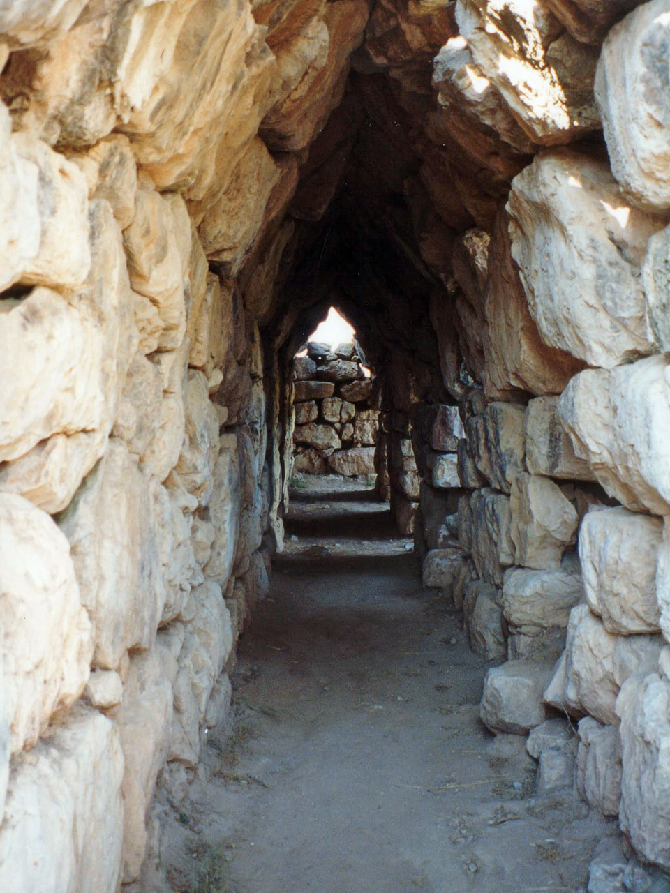
If you have visited Mycenae or Tiryns, you will recognise the family resemblance. The same rough, giant blocks form the walls of those citadels. At Tiryns, there are long corbelled galleries inside the walls, built on the same principle as the opening under this bridge. At Mycenae, the great tomb often called the Treasury of Atreus uses corbelled stone rings to make its tall, beehive-shaped dome. This bridge is the modest, practical relative of those famous monuments.
Take a moment to walk around the whole structure. From the side, you can see how it slopes gently at each end, so the road could climb on and step off. From the gully, you get the clearest view of the opening and the way the stones lean in toward each other. The light changes the bridge a great deal. In the morning, the stones look pale and soft. In the late afternoon, shadows fill every gap and the texture becomes sharp and dramatic.
The setting matters too. Around you are low hills covered in olive trees, thorny shrubs, and wild herbs. On a warm day you may smell thyme or sage drifting from the slopes. The modern road beside you follows much the same valley as the ancient one. In a way, you are travelling the same route as the Mycenaeans, only faster, and in a car instead of a chariot.
Before you leave, stand still for a moment and look at the bridge one more time. Notice how small it is. There is no carving, no inscription, no name of a king. It was built to do one job, and it is still doing it. As you walk back toward the road, listen again to the bell on the hillside and the dry rustle of the grass. The same sounds may have been here when the first cart rolled across these stones.
Key facts
What to look for
Practical tips
Common questions
Is there a free audio guide to Arkadiko Bridge?
Yes — the Lokali app narrates Arkadiko Bridge free of charge in 50+ languages. The guide runs about 7 minutes, covers the history, what to look for on site and practical tips, and works offline once downloaded.
Where is Arkadiko Bridge?
Arkadiko Bridge is near Nafplio, Greece, at 37.5936, 22.9376. Tap the map link on this page for directions from where you are.
What is Arkadiko Bridge known for?
Dates to the Late Bronze Age, around thirteenth century BCE. One of the oldest surviving arch bridges in the world.
What should you look for at Arkadiko Bridge?
The narrow triangular opening formed by stepped corbel stones. Small filler stones wedged between the giant limestone blocks. Orange and grey lichen patches across the weathered surfaces.
What should you know before visiting Arkadiko Bridge?
Combine your stop with a drive to Epidaurus theatre. Visit in late afternoon for strong shadows on the stones.
When is the best time to visit Arkadiko Bridge?
Visit in late afternoon for strong shadows on the stones.
On the map
Opens directions to Arkadiko Bridge from your location.
More to see in Nafplio


Hear Arkadiko Bridge in your language
The full story, narrated, in 50+ languages. Download it before you go and it plays offline, at your own pace, with no ticket and no tour group.