
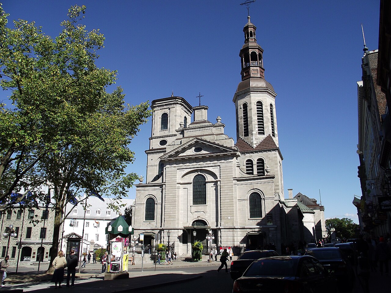
Photo: Jugag · CC0 · Wikimedia Commons
Stadacona is a 16th-century Iroquoian village near present-day Quebec City; origin of the name "Canada". Stadacona was a Saint Lawrence Iroquoian village near today's Quebec City. The free Lokali audio guide runs 6 minutes.
✓ Published October 2026 · how we write these guides
Visitor facts
| Lokali audio guide | 6 min · free |
|---|---|
| Type | Archaeological Site |
| Location | Quebec, Canada |
| Coordinates | 46.8244, -71.2434 |
| Languages | 50+, in the Lokali app |
The story
Stand still for a moment and listen. Beneath the traffic and the gulls, there is the slow movement of water. Two rivers meet here, the wide grey Saint Lawrence and the smaller Saint-Charles. The cliff of Cape Diamond rises behind you, and the wind off the water carries a cold, mineral smell. Nearly five centuries ago, smoke from cooking fires drifted over this same shoreline. That smoke came from Stadacona, a village that stood here long before Quebec City had a name.
Stadacona was home to a people historians call the Saint Lawrence Iroquoians. They spoke an Iroquoian language, related to the languages of the Huron-Wendat and the Haudenosaunee further south and west. They were not one single nation with a capital. They lived in a string of villages along the river, from this area upstream toward present-day Montreal. Stadacona was one of the largest communities near the river's narrows, and its leader was a man the French recorded as Donnacona.
Here is the first thing most visitors do not expect. Nobody knows exactly where Stadacona stood. No ruins survive above ground, and no excavation has yet confirmed the precise spot. Most historians place it somewhere near the mouth of the Saint-Charles River, on the lower ground below the cliff. So as you look around, you are not standing at a fenced archaeological site. You are standing inside a landscape that the village once shared, and the river is the most reliable witness left.
We can still picture daily life, because we know how related communities lived. Families likely shared long bark-covered houses, framed with bent saplings. Fields around the village grew corn, beans and squash, crops that people planted together and stored for winter. The river supplied eel, fish and seals. In summer, people travelled downstream toward the Gulf to fish. It was a farming people's world, set at the northern edge of where corn could ripen.
The written story of Stadacona begins with a meeting far from here. In 1534, the French navigator Jacques Cartier sailed into the Gulf of Saint Lawrence. On the Gaspé coast, he met a fishing party from Stadacona, led by Donnacona. Cartier raised a large wooden cross on the shore, and Donnacona objected to it. When the French sailed home, they took two of Donnacona's sons with them, Domagaya and Taignoagny. It was a troubled start.
The following year, in 1535, Cartier returned and the two young men guided him upriver. They brought him to their home, here at Stadacona. The meeting was full of gifts, speeches and suspicion on both sides. Donnacona did not want Cartier to continue further upstream to the rival village of Hochelaga, where Montreal stands today. Cartier went anyway. The relationship between the two leaders became tense, and it never fully recovered.
Now for the second surprise, and it is in your pocket every time you say the country's name. The Iroquoian word kanata meant village or settlement. Cartier heard the word used for Stadacona and the land around it. The French took it as the name of the whole region. Over the following centuries, Canada grew from a word for one village by this river into the name of the second-largest country on Earth.
Cartier and his men spent the winter of 1535 and 1536 camped on the Saint-Charles River, close to the village. They were not ready for it. Ice locked their ships in place, and snow buried the shore. Then scurvy struck, a disease caused by a lack of vitamin C. Cartier's own account describes swollen limbs, rotting gums and many deaths. Without help, the French expedition might have ended on this riverbank.
The help came from Stadacona. Domagaya showed the French how to prepare a remedy from a tree the people called annedda. Bark and needles were boiled into a drink. Historians usually think the tree was a type of conifer, probably eastern white cedar, though the exact species is still debated. The sick sailors recovered quickly. It is one of the earliest recorded cases of Indigenous medicine saving European lives in North America.
The gratitude did not last. In the spring of 1536, before sailing home, Cartier seized Donnacona, his two sons and several others, and carried them to France. He wanted Donnacona to tell the French king about a rich land called the Kingdom of Saguenay. Donnacona never came home. He died in France a few years later. When Cartier returned to the area in 1541, he chose to settle upriver at Cap-Rouge rather than near Stadacona.
Then comes the deepest mystery of this place. When Samuel de Champlain arrived in 1608 to found Quebec, Stadacona was gone. The Saint Lawrence Iroquoians had vanished from the valley. Historians still debate why. Warfare with neighbouring nations, European diseases, and changes in trade and climate are all possible causes, and several may have worked together. What we know is that within one lifetime, a whole people disappeared from the river.
Look around you once more with that in mind. The stone houses of the Lower Town, the port, the bridges and the railway lines all came later. They sit on top of a story that began much earlier. Today, Quebec City honours the winter of 1535 at the Cartier-Brébeuf National Historic Site on the Saint-Charles River. Indigenous communities in the region, including the Huron-Wendat of Wendake just north of the city, keep their own living connection to this land.
Before you move on, walk toward the water if you can. Watch how the current turns where the two rivers meet, and notice the line of the cliff against the sky. Donnacona, Domagaya and Cartier all looked at that same line. The village left no walls behind, only a word that became a country. As you walk away, listen again for the water under the noise of the city. That sound is the oldest thing here.
Key facts
What to look for
Practical tips
Common questions
Is there a free audio guide to Stadacona?
Yes — the Lokali app narrates Stadacona free of charge in 50+ languages. The guide runs about 6 minutes, covers the history, what to look for on site and practical tips, and works offline once downloaded.
Where is Stadacona?
Stadacona is in Quebec, Canada, at 46.8244, -71.2434. Tap the map link on this page for directions from where you are.
What is Stadacona known for?
Stadacona was a Saint Lawrence Iroquoian village near today's Quebec City. Jacques Cartier first reached Stadacona during his 1535 voyage.
What should you look for at Stadacona?
The junction of the Saint Lawrence and Saint-Charles rivers. The steep face of Cape Diamond rising above the Lower Town. Low riverside ground where historians place the lost village.
What should you know before visiting Stadacona?
Visit Cartier-Brébeuf National Historic Site on the Saint-Charles River. Walk down to the riverfront to see where the two rivers meet.
When is the best time to visit Stadacona?
Come at dusk to see the cliff outlined against the sky.
On the map
Opens directions to Stadacona from your location.
More to see in Quebec



Hear Stadacona in your language
The full story, narrated, in 50+ languages. Download it before you go and it plays offline, at your own pace, with no ticket and no tour group.