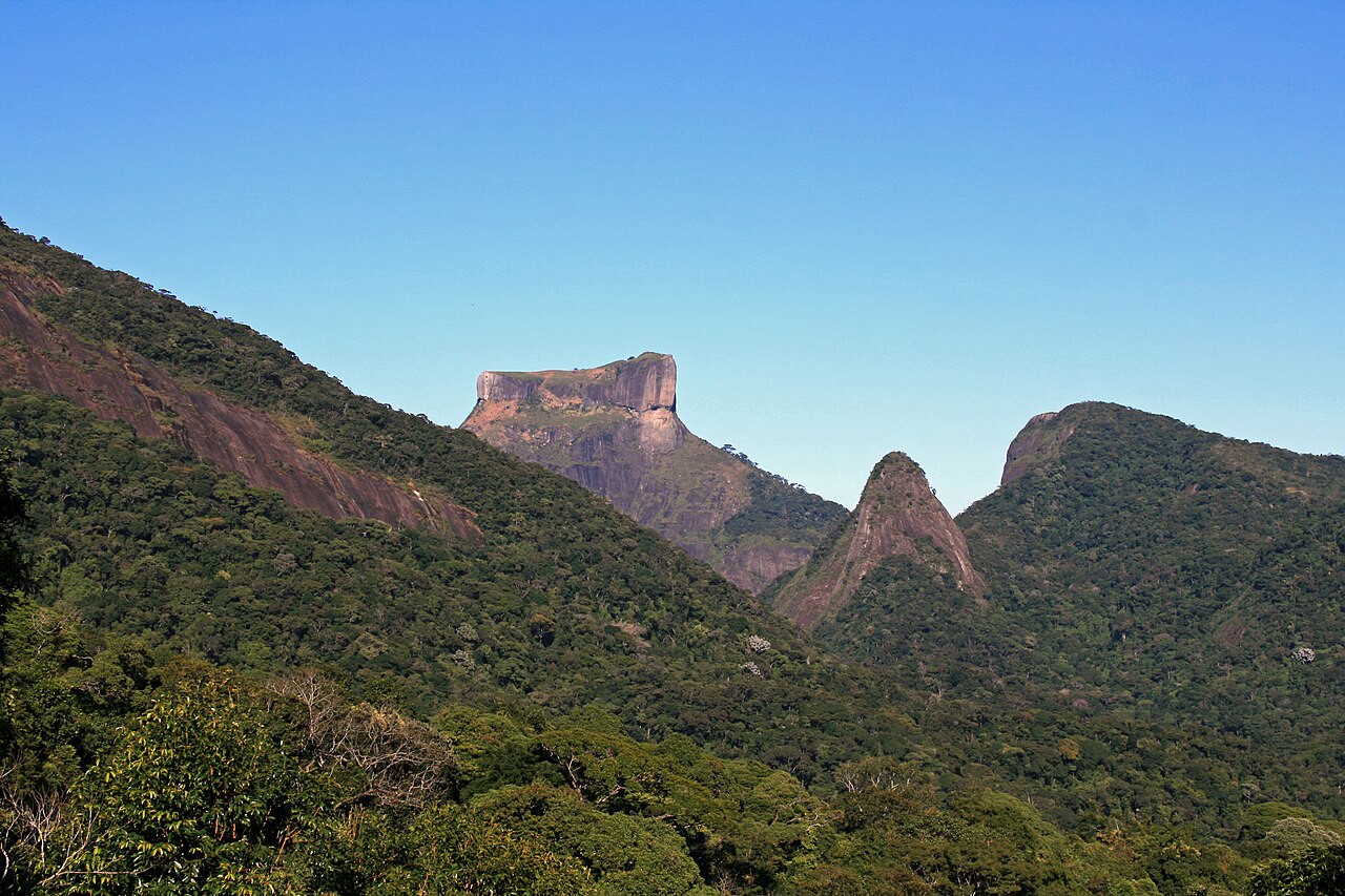
Vista Chinesa Trail
22.9720° S · 43.3245° W · Trail
Vista Chinesa Trail is a popular hiking route through the forest connecting to the Chinesa Viewpoint. It is in Rio de Janeiro, Brazil. Most visitors spend 1–2 hours here. The free Lokali audio guide runs 5 minutes.
✓ Verified August 2026 · how we write these guides
Visitor facts
| Time needed | 1–2 hours |
|---|---|
| Lokali audio guide | 5 min · free |
| Type | Trail |
| Best for | Local life |
| Location | Rio de Janeiro, Brazil |
| Coordinates | -22.9720, -43.3245 |
| Languages | 45, in the Lokali app |
The story
A pavilion appears among the trees, unlike anything else in this forest. Its roof curves up at the corners like the prow of a boat, painted in colors that catch the light. You step out from under the canopy onto an open terrace, and beyond the strange pretty structure, the whole southern edge of the city falls away below you. This is the Vista Chinesa, the Chinese View.
The pavilion is built in the style of an East Asian temple, with a tiered roof, upturned eaves, and decorated columns. It stands on an overlook about 380 meters above the sea, on the forested ridge that separates the park from the coast. Stone and concrete were shaped and painted to imitate the wooden temples of China, set down here among Brazilian trees.
The style is not a random choice. It honors a group of Chinese workers who were brought to Rio in the early nineteenth century to grow tea. They were settled in this part of the city and tried to raise tea plants on these slopes. The crop never became a great success, but the workers and their presence left a mark, remembered now in this small painted pavilion on the hill.
The structure you see was built in 1903. By then the tea growing was long past, but the memory of those workers shaped the design. The pavilion was meant as a lookout and a monument at once, a place to enjoy the view and to mark a piece of the city's past. It has stood here, watching over the coast, for more than a century.
Now turn to the view, because it is the reason most people climb here. Below you lies a large lagoon, ringed by the city, connected to the sea. Beyond it stretch the beaches of Ipanema and Leblon, long pale lines against the dark water. Look right and you find the rounded shape of Sugarloaf at the mouth of the bay. Look the other way and the peak of Corcovado rises with its statue on top.
The lagoon directly below is called the Lagoa Rodrigo de Freitas. Its calm water mirrors the sky and the hills around it. Rowers train on its surface in the early mornings, and a path circles its entire shore. From this height the boats look like small marks moving slowly across glass.
Many people reach this spot the hard way, by climbing the road on foot or by bicycle from the lower neighborhoods. The route winds up through the forest in a long, steady grade. Cyclists in particular treat this climb as a challenge, and on weekend mornings you will see many of them resting at the top, catching their breath beside the pavilion.
There are also walking trails through the forest that lead here, quieter paths under the trees away from the road. These bring you to the pavilion through green shade rather than along the open road. However you arrive, the forest surrounds the final approach, so the burst of open view at the end always comes as a surprise.
Step closer to the pavilion and look at the details. The columns are decorated, the roof edges curl upward, and dragons and patterns appear in the design. The paint is renewed from time to time, so the colors stay bright. It is a small building, but it was made with care, and it has become the signature of this viewpoint.
The view changes with the hour. In the clear light of morning the colors of the city are sharp and the air is often cool. Late in the day the sun drops toward the hills behind you and throws long light across the water below. Many visitors plan their arrival for these softer hours, when the heat eases and the light grows kind.
What makes this overlook unusual is the layering of things. A Chinese-style pavilion, built by Brazilians, remembering tea workers from far away, standing in a forest that was replanted by hand, looking out over a modern city built along an ancient coast. Few viewpoints carry so many stories in one small place. You can take in all of them at a single glance.
Before you go, rest a hand on one of the painted columns and look out one last time. The workers this place remembers are long gone, the tea fields vanished back into forest, yet the view they once worked above remains. Stand quietly for a moment, and let the strangeness and the beauty of the spot settle together into something you will remember.
Key facts
What to look for
Practical tips
Common questions
How long do you need at Vista Chinesa Trail?
Plan 1–2 hours. That is the time most visitors spend at Vista Chinesa Trail. The free Lokali audio guide adds about 5 minutes of narration you can listen to as you walk, so it fits inside your visit rather than adding to it.
Is there a free audio guide to Vista Chinesa Trail?
Yes — the Lokali app narrates Vista Chinesa Trail free of charge in 50+ languages. It covers the history, what to look for on site and practical tips, and it works offline once downloaded.
Where is Vista Chinesa Trail?
Vista Chinesa Trail is in Rio de Janeiro, Brazil, at -22.9720, -43.3245. Tap the map link on this page for directions from where you are.
What should you know before visiting Vista Chinesa Trail?
Arrive in morning or late afternoon for softer light.
What is Vista Chinesa Trail known for?
Pavilion built in 1903 in an East Asian style.
What is the best time to visit Vista Chinesa Trail?
The trail is well-marked but can be muddy after rain.
On the map
Opens directions to Vista Chinesa Trail from your location.
More to see in Rio de Janeiro


Hear Vista Chinesa Trail in your language
The full story, narrated, in 50+ languages. Download it before you go and it plays offline, at your own pace, with no ticket and no tour group.