
Veluwezoom National Park
52.0484° N · 6.0199° E · National Park
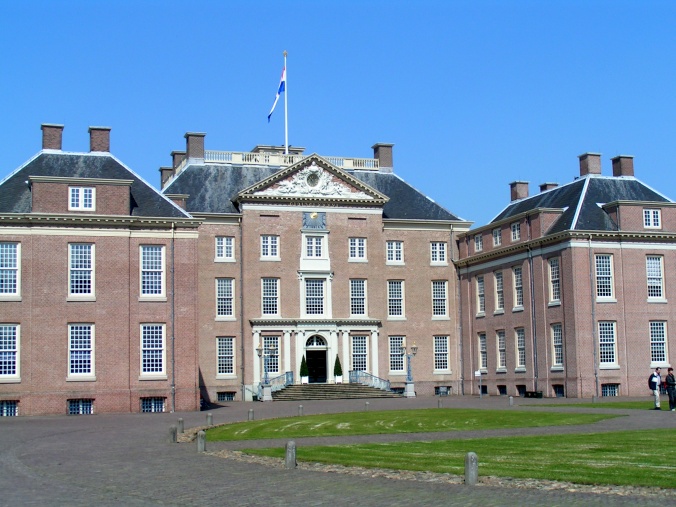
Photo: MartinD · CC BY-SA 3.0 · Wikimedia Commons
Veluwezoom National Park is a national park in Gelderland, the Netherlands. Widely described as the oldest Dutch national park. The free Lokali audio guide runs 7 minutes.
✓ Published October 2026 · how we write these guides
Visitor facts
| Lokali audio guide | 7 min · free |
|---|---|
| Type | National Park |
| Location | Gelderland, Netherlands |
| Coordinates | 52.0484, 6.0199 |
| Official website | natuurmonumenten.nl |
| Languages | 50+, in the Lokali app |
The story
Listen for a moment. Wind moves through the pine needles with a soft, steady hiss. Under your feet, the path is sandy and loose, and it gives a little with every step. If you crouch down, the ground is pale and fine, almost like a beach that has wandered inland. Around you, low heather spreads across the slopes, and the air smells of resin, dry grass, and warm earth. This is Veluwezoom National Park, in the Dutch province of Gelderland.
The name already tells you something. The Veluwe is the large wooded and sandy region in the heart of the Netherlands. The word zoom means edge, or hem, like the hem of a piece of clothing. So Veluwezoom is the edge of the Veluwe. Here, the high ground drops away toward the valley of the IJssel river, close to the city of Arnhem and the villages of Rheden and Dieren. You are standing on the rim of something much larger.
Now here is the first surprise. Most people picture the Netherlands as completely flat, a country of polders, canals, and land taken from the sea. Yet these hills are real hills. They were not built by people. They were pushed up by ice. During an ice age long before modern humans reached this land, enormous glaciers pressed down from the north. Their weight shoved sand and gravel into long ridges, a bit like a bulldozer pushing soil ahead of its blade. Geologists call these ridges push moraines.
When the ice melted, it left behind this rolling landscape of sand. The soil here is poor and drains quickly, which is why the land never became rich farmland. For centuries, people grazed sheep on it and cut the vegetation for fuel and bedding. That heavy use kept trees away and allowed heather to spread. So the open heathland you see is partly natural and partly the result of long human work. It is a landscape shaped by both ice and hands.
And here is the second surprise. Veluwezoom is widely described as the oldest national park in the Netherlands. In the early twentieth century, the nature conservation society Natuurmonumenten began buying land here to protect it. At the time, the idea that a private group should buy land simply to keep it wild was quite new for the country. Over the following decades, those purchases grew into the protected area around you. Natuurmonumenten still manages the park today.
If you have come in late summer, look at the colour of the slopes. In August and early September, the heather flowers turn the hills a soft purple. On a warm day, the bloom has a faint honey smell, and you may hear bees working steadily through it. In other seasons, the heather is brown, rust, or dull green. Each season gives the same hills a very different face, so a return visit never feels quite the same.
You may also meet some large, shaggy residents. Herds of Scottish Highland cattle graze parts of the park. They have long horns and thick, reddish coats, and they look rather fierce. In reality, they are calm animals. Their job is practical. By eating young trees and grasses, they help keep the heath open, doing the work that sheep once did. Give them space, though. Never walk between a cow and her calf.
Other animals are harder to see. Red deer and wild boar live in these woods, along with foxes, badgers, and many birds. The best chances come early in the morning or near dusk, when the paths are quiet. In autumn, during the deer rutting season, you may hear the male red deer calling across the valleys. It is a deep, rough roar, and it carries a long way through the still evening air.
One of the best-known places in the park is the Posbank. This is a high point with a wide view over the hills and toward the river valley beyond. On a clear day, you can see a long way across the low Dutch landscape, with fields and towns laid out below. There is a pavilion nearby, and it is a natural place to pause. Many walking and cycling routes pass here, so expect company on a sunny weekend.
The park is generous to walkers and cyclists. Marked trails lead through pine forest, beech woods, open heath, and sandy drifts. Some routes are short and gentle. Others climb and drop over the moraine ridges and will test your legs more than you might expect in the Netherlands. Cycling is very popular, both on paved paths and on mountain bike routes. Stay on the marked tracks, because the sandy soil and the plants are easily damaged.
Around the edges of the park, human history comes close again. Country estates, old manor houses, and village churches sit at the foot of the hills. Wealthy families from the cities once built homes here to enjoy the woods and the views. The nearby estate of Rosendael, with its castle and gardens, is one example. These places show how long people have valued this border between high sandy ground and the river lowlands below.
As you walk, notice the changes underfoot and overhead. Under the beech trees, the light turns green and soft, and old leaves crunch on the path. In the pine woods, the ground is springy with fallen needles. On the open heath, the sky suddenly feels very large, and the wind is stronger. These shifts happen over short distances. The whole park is a lesson in how small changes in soil and slope create very different worlds.
Before you move on, stand still for a minute. Look at the line where the trees meet the heath. Look at the pale sand showing through the path, the same sand that ice pushed here long ago. Listen again to the wind in the pines. As you walk away, you carry a little of this ground on your shoes. It is a quiet reminder that even in a flat country, there is an edge where the land rises... and this is it.
Key facts
What to look for
Practical tips
Common questions
Is there a free audio guide to Veluwezoom National Park?
Yes — the Lokali app narrates Veluwezoom National Park free of charge in 50+ languages. The guide runs about 7 minutes, covers the history, what to look for on site and practical tips, and works offline once downloaded.
Where is Veluwezoom National Park?
Veluwezoom National Park is in Gelderland, Netherlands, at 52.0484, 6.0199. Tap the map link on this page for directions from where you are.
What is Veluwezoom National Park known for?
Widely described as the oldest Dutch national park. Managed by the conservation society Natuurmonumenten.
What should you look for at Veluwezoom National Park?
Pale, fine sand showing through the forest paths. Shaggy reddish coats and long horns of Highland cattle. The wide valley view from the Posbank high point.
What should you know before visiting Veluwezoom National Park?
Visit in late August for purple heather in bloom. Come at dawn or dusk to spot deer.
When is the best time to visit Veluwezoom National Park?
Come at dawn or dusk to spot deer.
On the map
Opens directions to Veluwezoom National Park from your location.
More to see near Veluwezoom National Park


Hear Veluwezoom National Park in your language
The full story, narrated, in 50+ languages. Download it before you go and it plays offline, at your own pace, with no ticket and no tour group.